Tree inventory along the railway
A drone-collected LiDAR was used to identify 9,863 individual trees across 32,877 hectares along German railway network.

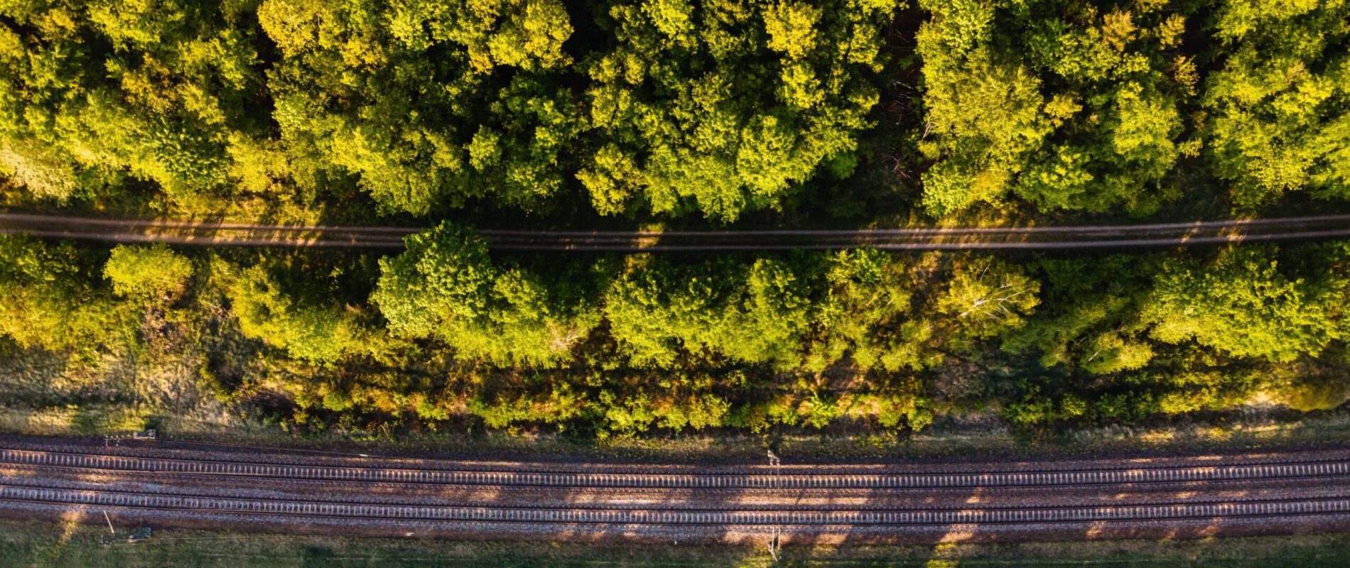
A drone-collected LiDAR was used to identify 9,863 individual trees across 32,877 hectares along German railway network.
Deutsche Bahn required a clear picture of the trees along its railway network, recorded tree by tree rather than as a general estimate of vegetation cover. LiDAR data collected by drone and supplied by the client was processed through the Clear Timber Analytics platform to extract every individual tree from the point cloud.
In total, 9,863 trees were identified and delivered, each with its exact crown shape, across 32,877 hectares scanned. All data was provided in shapefile format, ready for direct use within Deutsche Bahn’s own systems.
This level of detail is important for a railway network. It allows maintenance teams to plan pruning and removals based on accurate tree data, identify risk near the tracks before it becomes a problem, and monitor how the canopy along the line changes over time.
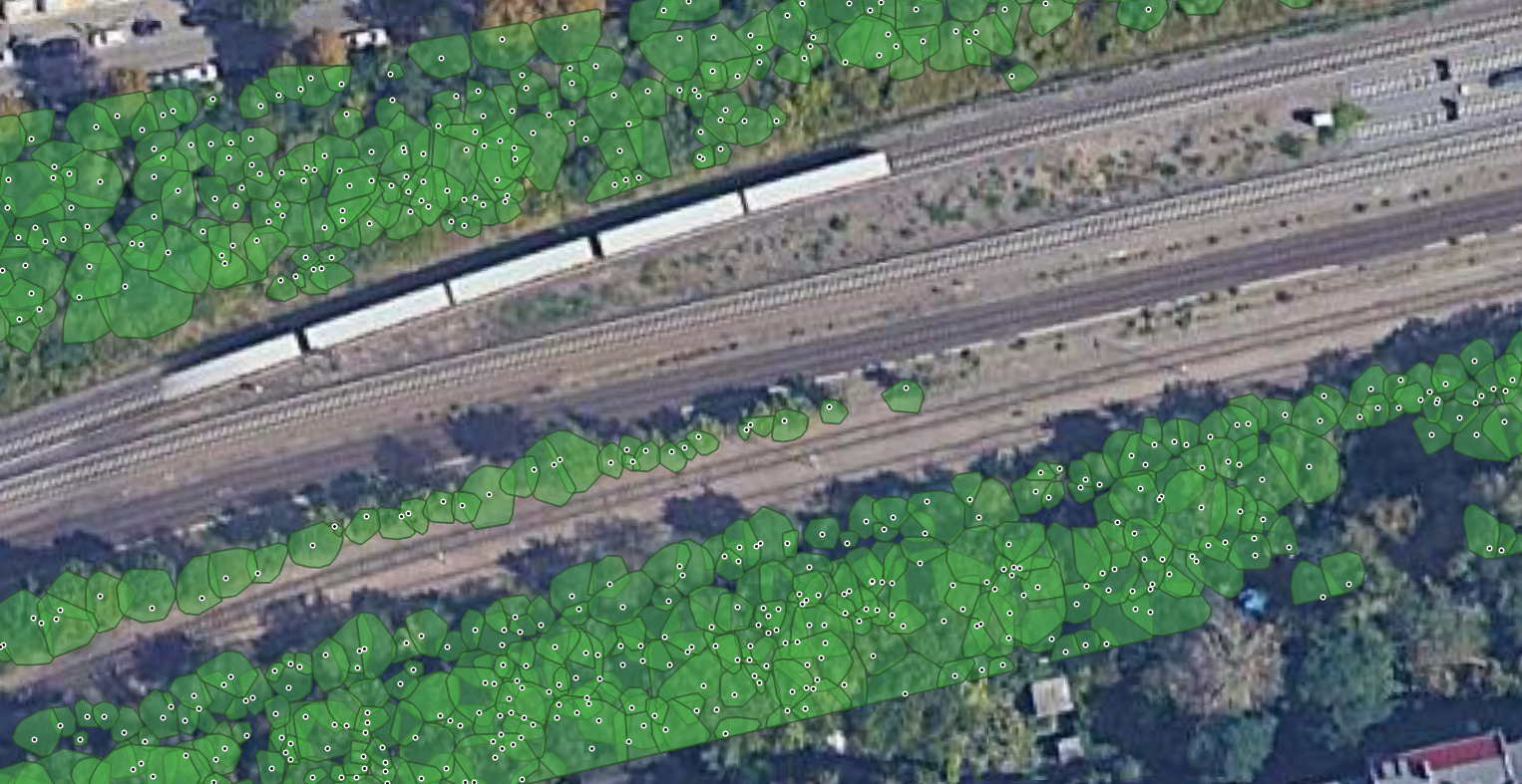
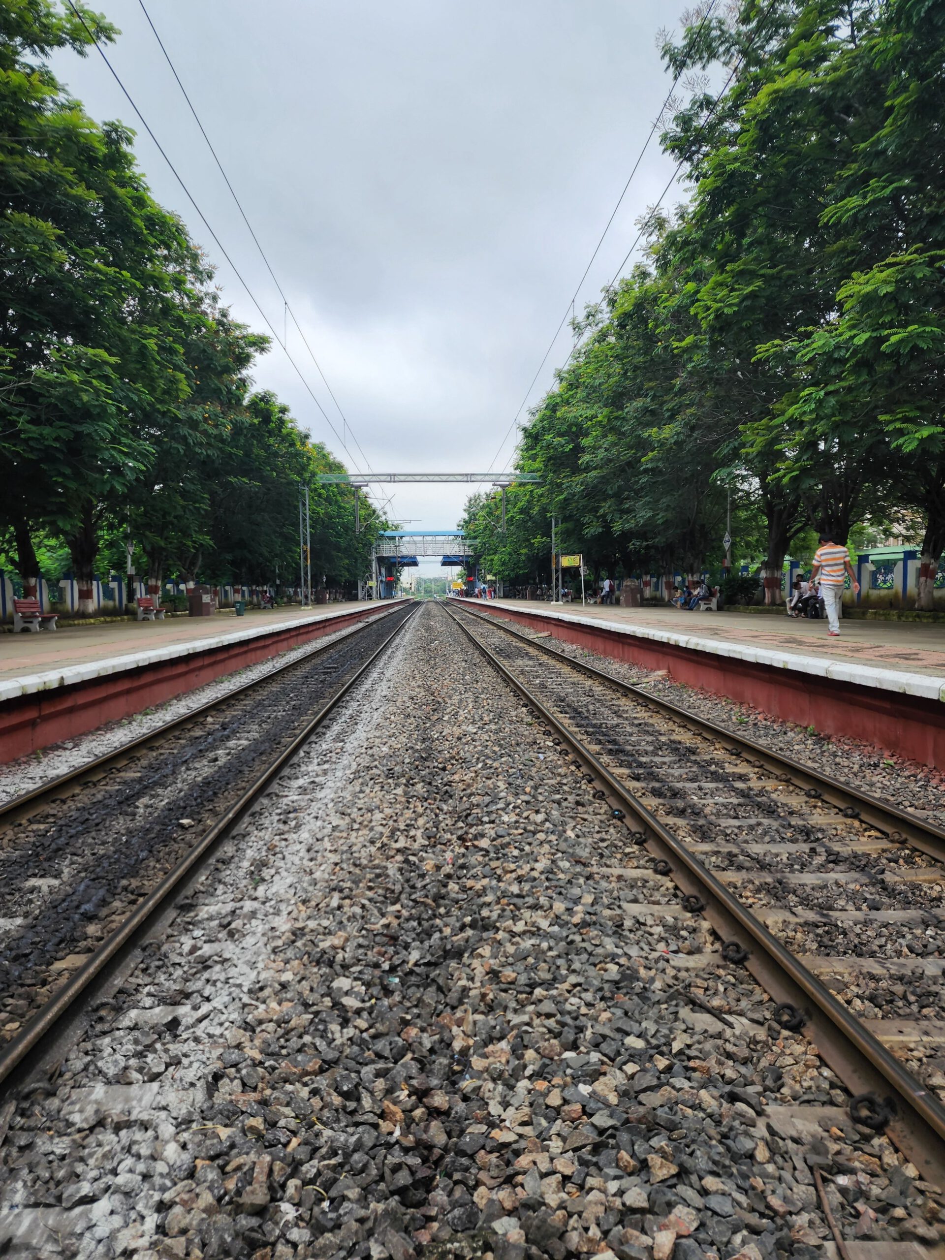
Aerial and ground-level views of the trees identified along the railway in Berlin
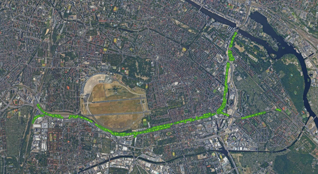
Top view of the analyzed section of the railtrack in Berlin