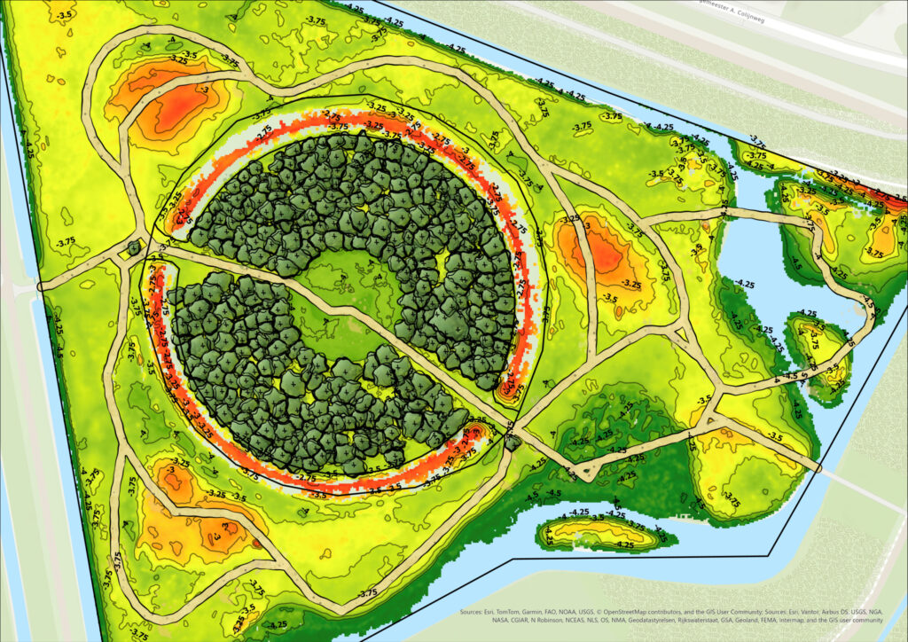
Tree inventory and terrain model of an urban park
A project in an Amsterdam park involved mapping trees and creating a terrain model. The project covered 373 ornamental cherry trees to support the park’s redesign.

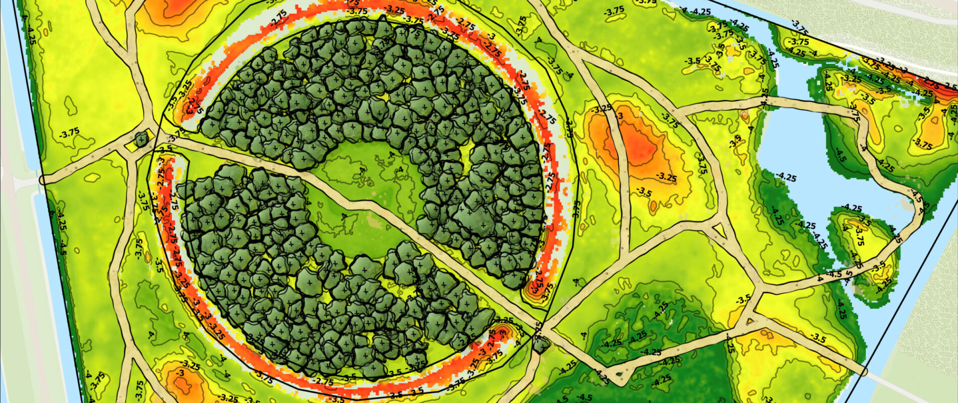
A project in an Amsterdam park involved mapping trees and creating a terrain model. The project covered 373 ornamental cherry trees to support the park’s redesign.
Bloesempark in Amsterdam was the subject of a digital tree inventory and terrain model. A project was carried out to support the design work for the park’s planned redevelopment. The area is known from group of ornamental cherry trees, each included in the assessment. The aim was to map every tree, record its exact location, and gather basic measurements, while also producing up to date elevation data and information on how the site connects to its surroundings.
Data was collected using a handheld scanner combined with drone survey data, giving a complete picture of the park’s trees and ground surface. All cherry trees were identified and measured, each enriched with data such as location, stem diameter, and crown parameters. The same point cloud was processed into a high-definition digital terrain model.
Together, this combination of data gives Copijn a clear, figure based picture of the park, ready to support further analysis and the redesign of the site.