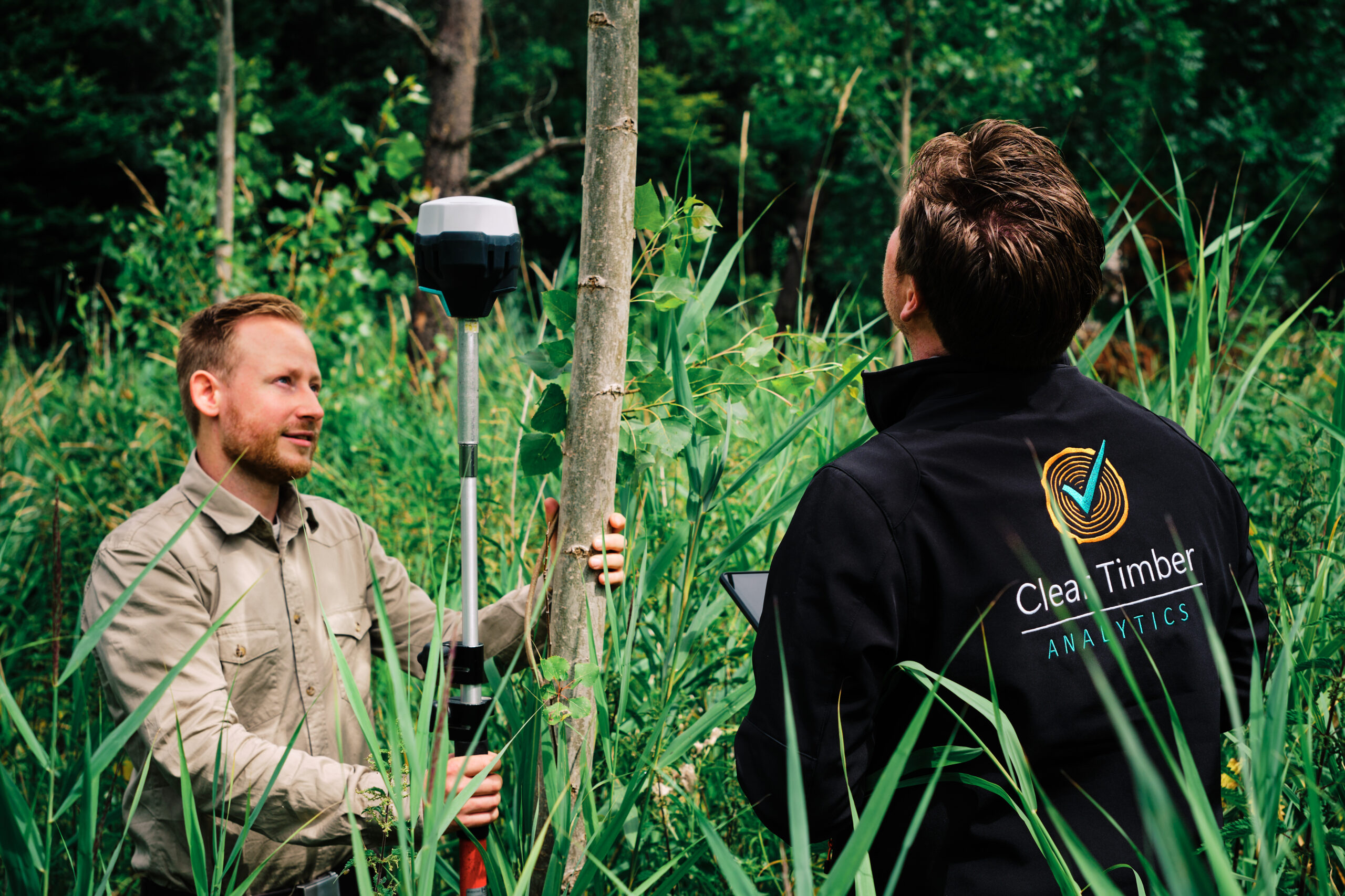
Clear Timber analytics
By combining modern technology and advanced data analytics we help you get accurate insights into your trees.

We use high-precision mobile mapping and LiDAR analytics to build accurate digital tree inventories for cities. Working with our global network of mobile mapping providers, we turn existing data into clear insight that helps urban managers plan and manage green infrastructure better. Let the data guide how your city grows.
With our high-resolution LiDAR analytics, Clear Timber Analytics delivers a range of products designed to optimize foresters' workflows, from terrain mapping and growing stock analysis to carbon capture and afforestation survival inventories. Let us help you gain the clarity and insights you need to make informed decisions.

We use remote sensing to monitor forest health and detect key changes across ecosystems. Our technology provides insights into forest vitality, helping you track environmental changes, safeguard resources, and support long-term resilience with continuous monitoring.


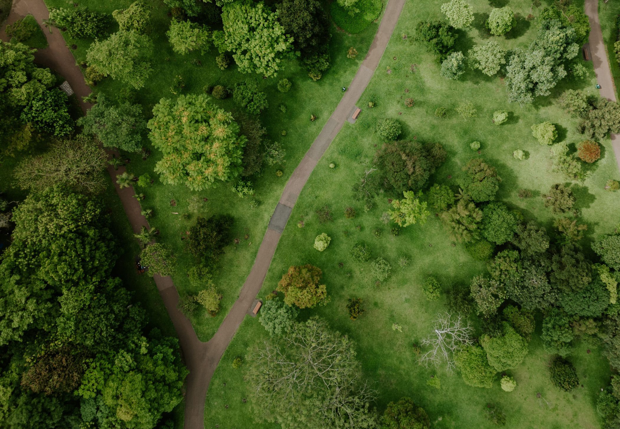
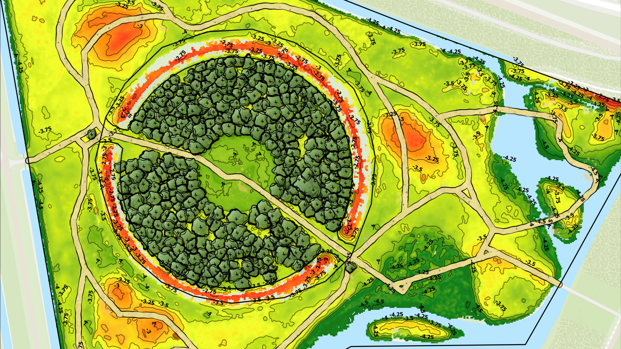
A project in an Amsterdam park involved mapping trees and creating a terrain model. The project covered 373 ornamental cherry trees to support the park’s redesign.
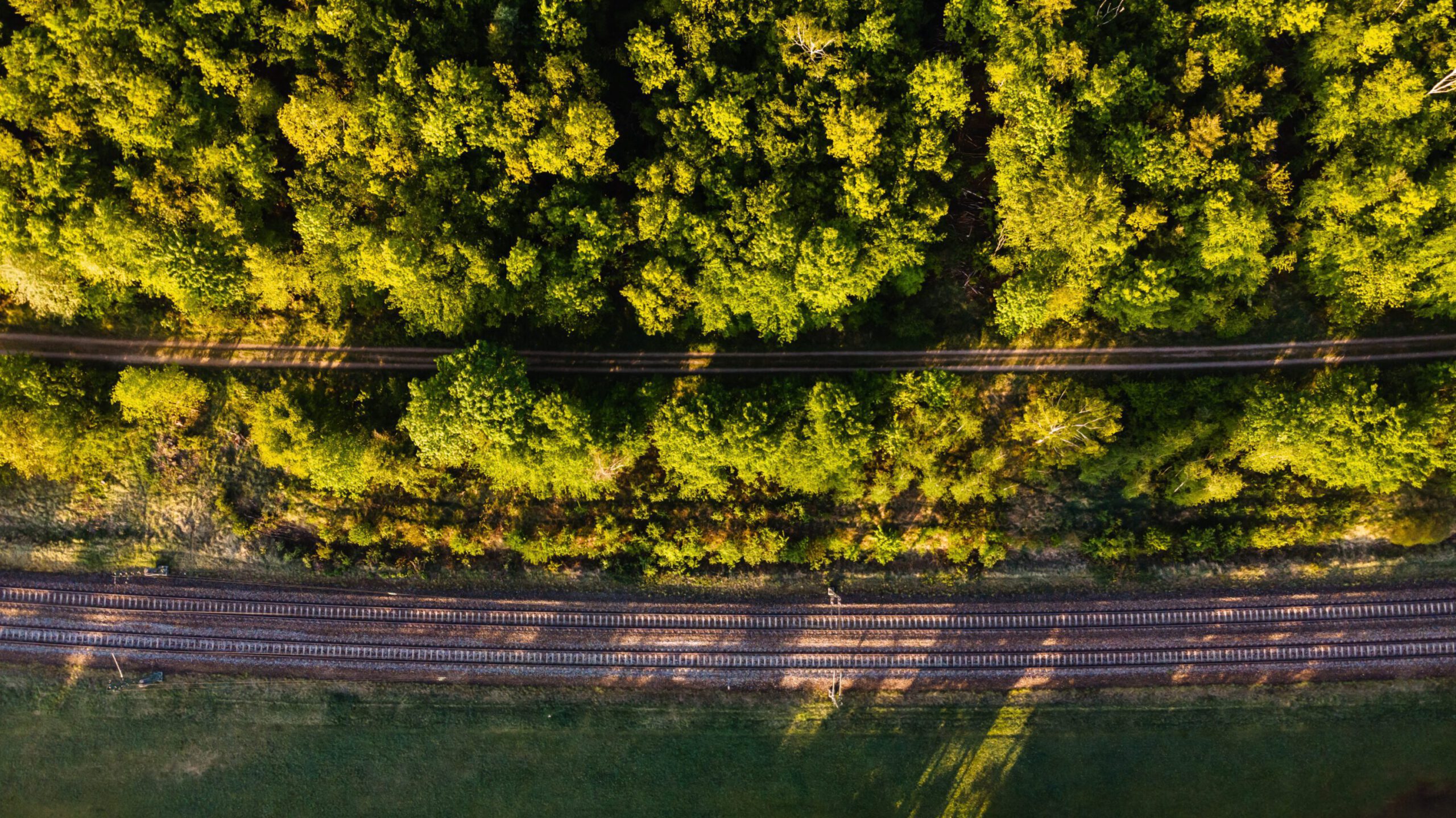
A drone-collected LiDAR was used to identify 9,863 individual trees across 32,877 hectares along German railway network.
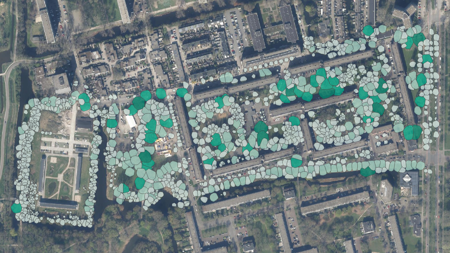
A neighbourhood in Delft was surveyed to assess how green the area is for the people who live there, using a digital tree and vegetation inventory.
