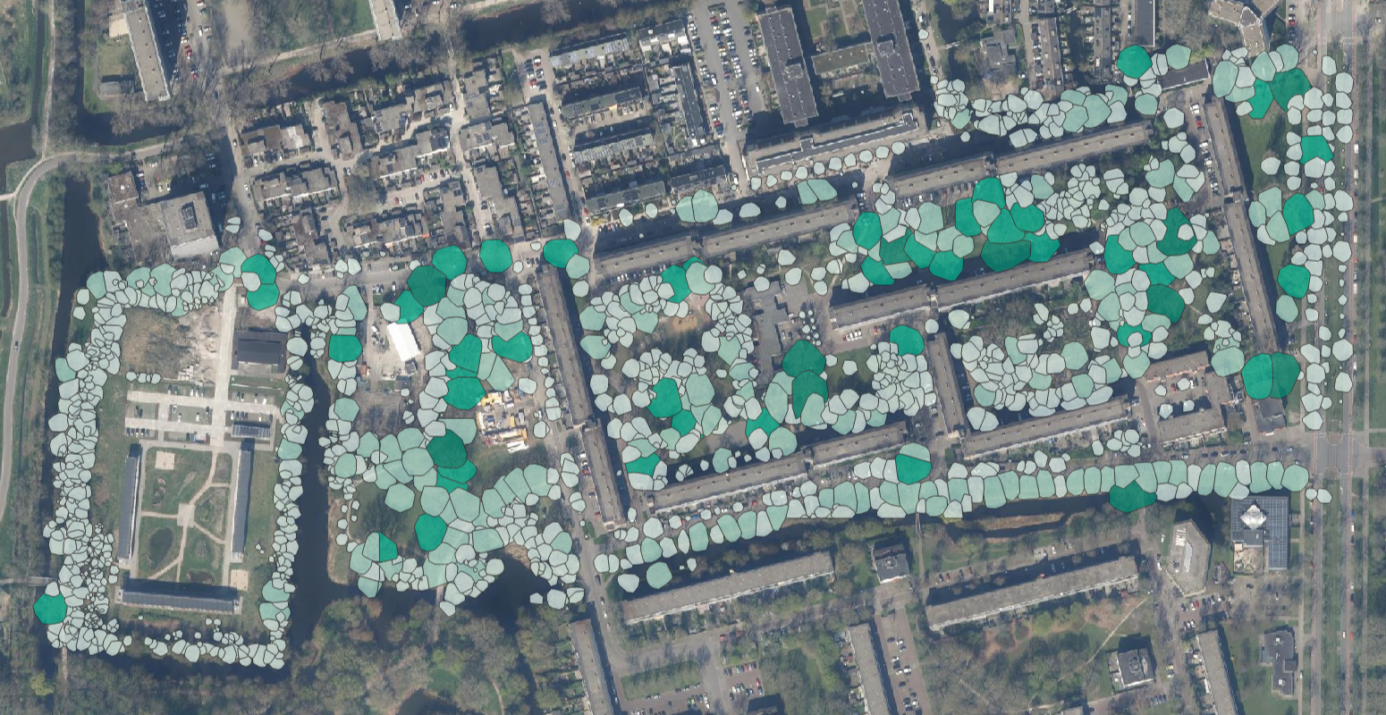
In Delft, a digital tree and vegetation inventory was carried out for a single neighborhood of 72 hectares. The goal of the project was to assess how green the area is for the people who live there. To collect the data, a manual LiDAR survey using a handheld scanner was combined with existing mobile mapping data. Together, this combination gave a complete picture of the trees present within the area of interest.
Every tree in the surveyed area was identified, with basic measurements such as location and stem diameter recorded for each one. Crown parameters were also calculated, giving the exact shape of the crown visible on the plan, along with canopy coverage percentage and insight into crown volume per tree.
The result gave Copijn a clear view of how much green space residents of the neighborhood have access to and how it is distributed across the area of interest. It gave a solid starting point for further analysis on how to maintain and improve the greenery.