Tree inventory for cycling path reconstruction
A digital tree inventory was completed within a 5 m buffer of a cycling path to identify trees potentially affected by the reconstruction.


A digital tree inventory was completed within a 5 m buffer of a cycling path to identify trees potentially affected by the reconstruction.
In Heiloo, a digital tree inventory was carried out along a cycling path to support its redesign and facilitate the planning of road works. The objective was to identify and document every tree located close enough to the path to be potentially affected by the construction and the new design.
Using existing mobile mapping data, the dataset was processed to determine the precise location of every tree within a 5 m buffer of the cycling path. For each tree within the area of interest, key attributes and basic measurements were also recorded.
The resulting inventory provided the project team with a detailed, tree-by-tree overview of the entire route. It clearly illustrated the relationship between the existing vegetation and the proposed design, enabling more informed planning of the road works while helping protect trees that needed to be preserved.


Cross section and drone view of the bike path.
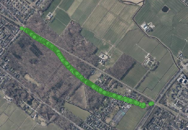
Top view of the mapped trees along the bike path in Heiloo.