Roadside tree inventory for sound barriers
Vegetation analysis along the Dutch highway network using mobile mapping data to support sound barrier placement.

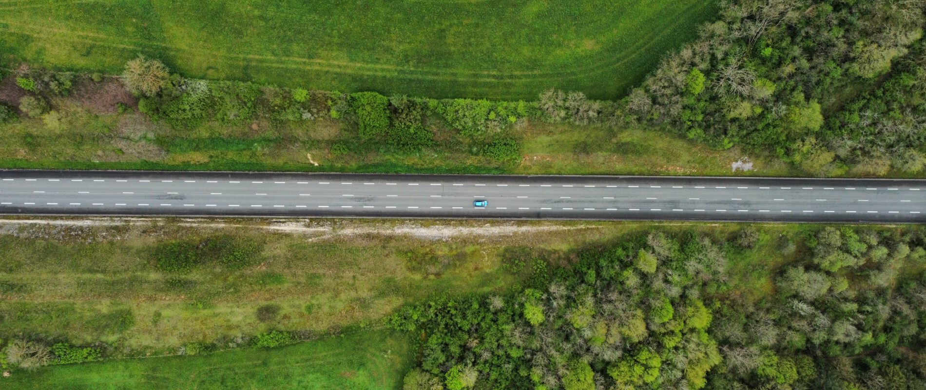
Vegetation analysis along the Dutch highway network using mobile mapping data to support sound barrier placement.
For Rijkswaterstaat, vegetation was analysed at 40 locations along the Dutch highway network, where new sound barriers were planned. Using mobile mapping data collected by Cyclomedia, the Clear Timber Analytics platform identified canopy projections for trees and shrub vegetation at each site.
This gave Rijkswaterstaat the detail required to plan sound barrier placement around existing greenery. For roadside trees, individual tree data was delivered, including location, crown diameter, and stem diameter. For shrub and group vegetation, data was delivered per area, including location, surface area, and average stem diameter.
This distinction allowed Rijkswaterstaat to assess canopy coverage and vegetation structure at each site and identify potential conflicts. It supported decisions on how sound barriers could be placed without unnecessary loss of greenery, and assisted planners during both the design phase and later budgeting.
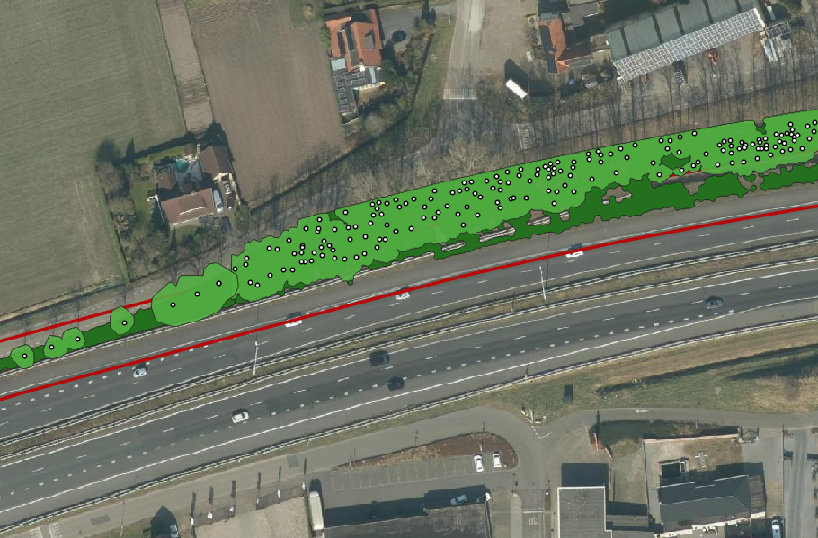
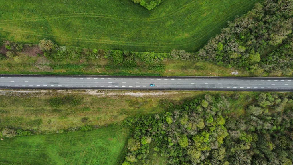
Aerial view of mapped single trees (lighter green) with group of trees and shrubs (dark green), with canopy projections along the highway (left image)
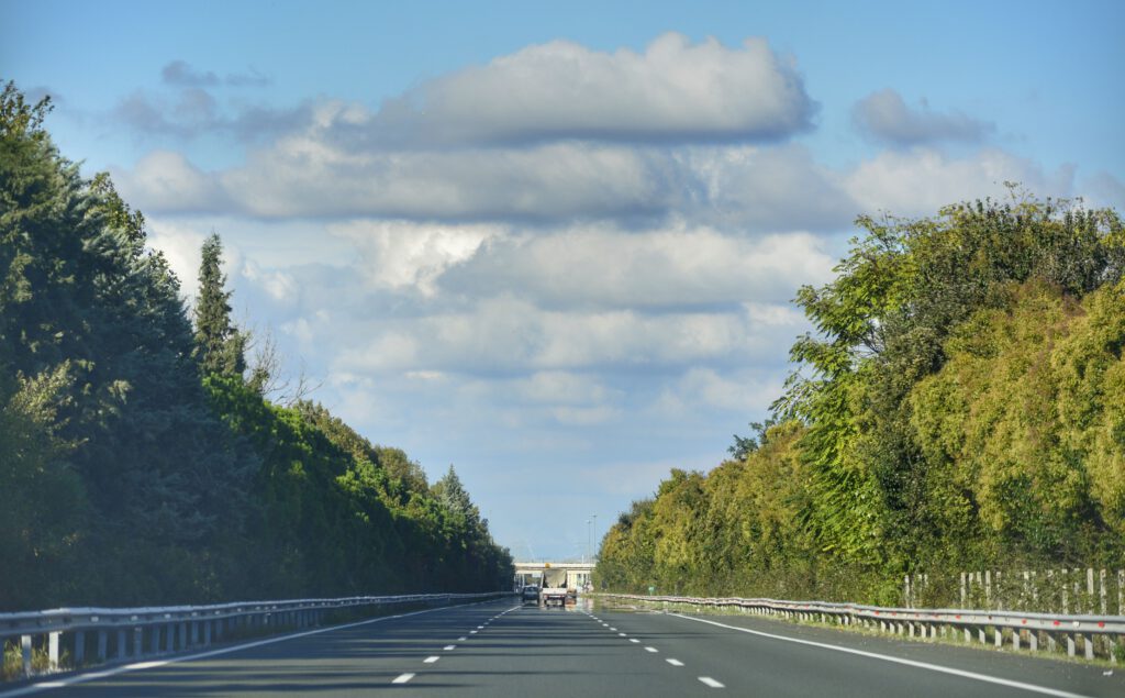
View of the roadside vegetation along the highway