LiDAR-based digital terrain model
A high-precision LiDAR survey was carried out across 380 hectares of forest in Hulkesteijnsebos to create a detailed Digital Terrain Model.

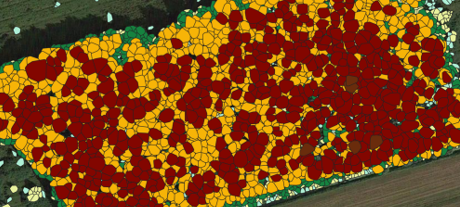
A high-precision LiDAR survey was carried out across 380 hectares of forest in Hulkesteijnsebos to create a detailed Digital Terrain Model.
For Staatsbosbeheer, a high-precision inventory was carried out across 380 hectares of forest in Hulkesteijnsebos, Zeewolde. Using a drone equipped with a high-precision LiDAR scanner, 10.8 billion data points were captured, resulting in a detailed point cloud.
In-house software from Clear Timber Analytics generated a Digital Terrain Model (DTM) from this point cloud, providing accurate elevation mapping. This high-resolution DTM allowed for a detailed analysis of the current ground elevation, which plays an important role in the regional water level management project.
In the coming years, this DTM will serve as a key reference for monitoring the effects of groundwater level changes and tracking the development of the forest over time.

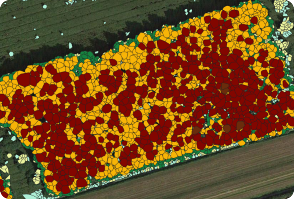
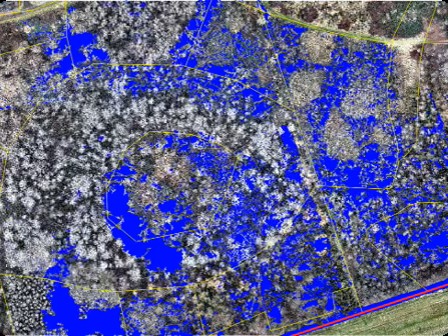
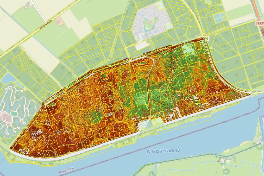
Drone survey and terrain analysis of the 380-hectare forest in Hulkesteijnsebos, Zeewolde