Roadside forest vitality monitoring
A satellite-based Forest Vitality Monitor was developed to assess the health of roadside forests across the Netherlands.

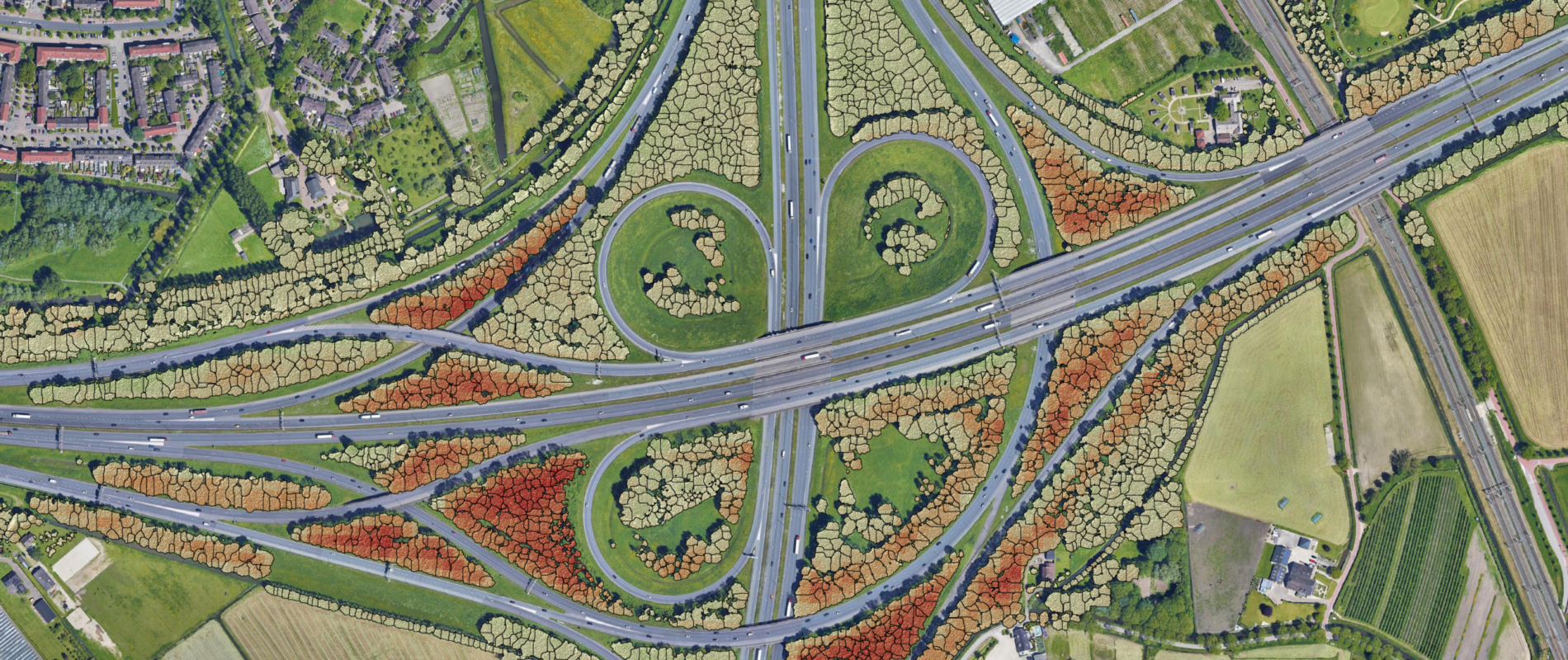
A satellite-based Forest Vitality Monitor was developed to assess the health of roadside forests across the Netherlands.
For the Rijkswaterstaat, a Dutch Ministry of Infrastructure, the satellite imagery-based Forest Vitality Monitor was enhanced to evaluate the health of roadside forests across the Netherlands. By integrating historical satellite data, the tool carries out trend analyses that provide a data-driven overview of current forest health and identify areas that require intervention. This approach gives asset managers an objective, actionable view of their entire forest territories.
Each year, roadside managers receive updated reports on forest vitality. This allows them to identify potential risks to road safety quickly and allocate resources for targeted management.
This development of the Forest Vitality Monitor has also been applied to smaller forested areas, including urban parks and forests along railroads.
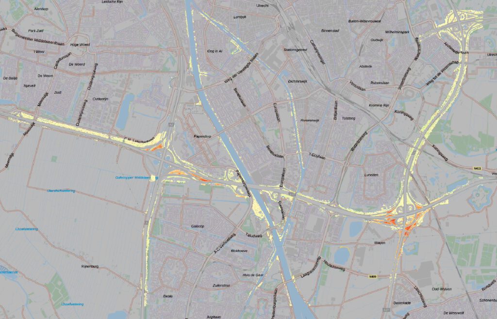
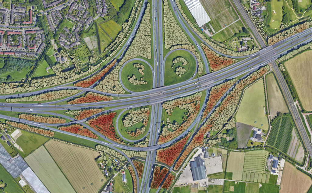
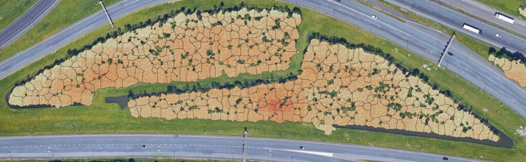
Satellite-based forest vitality data mapped across roadside forests in the Netherlands