Projects
High-resolution terrain mapping
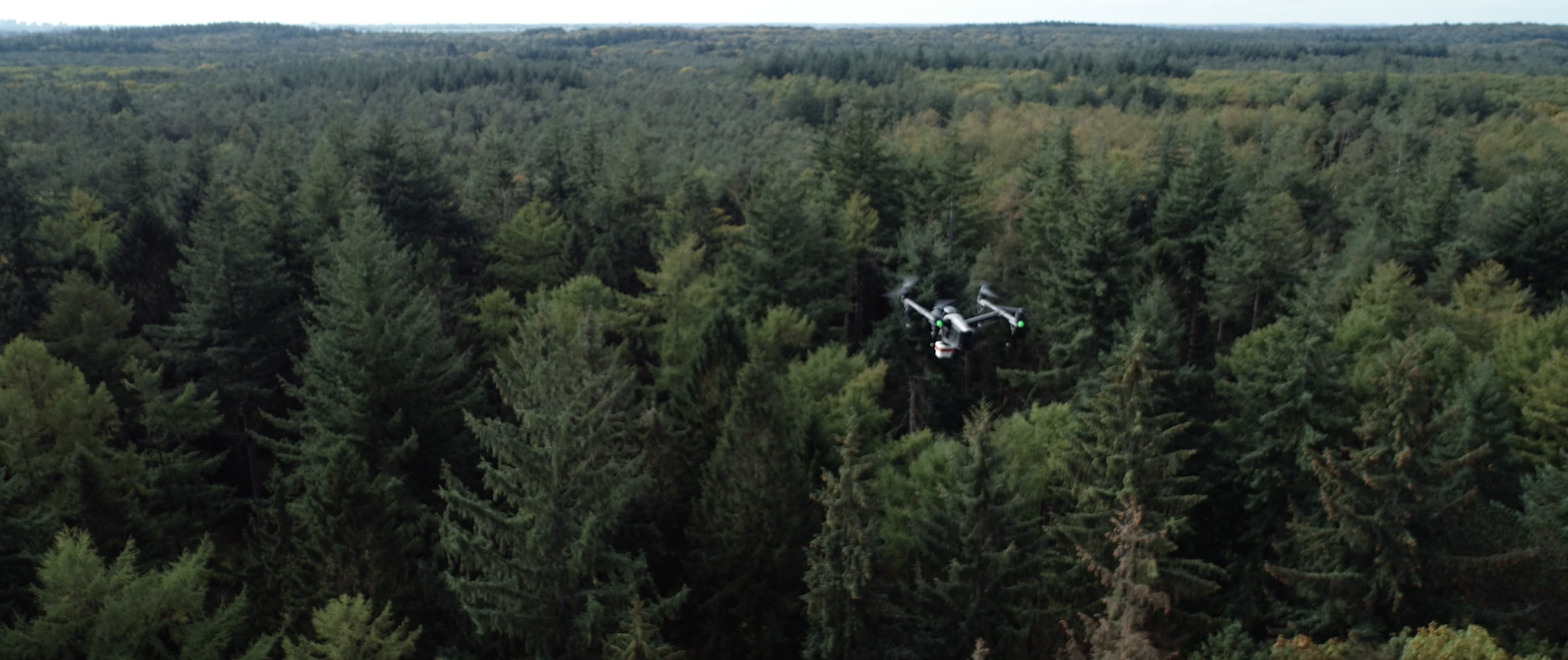
For our client Staatsbosbeheer, we conducted a high-precision inventory across 380 hectares of forest in Hulkesteijnsebos, Zeewolde. Using a drone equipped with a high-precision LiDAR scanner, we captured 10.8 billion data points, resulting in a
Customer
StaatsbosbeheerRealisation
February, 2024Project Type
Forest InsightsLocation
Zeewolde, The NetherlandsBark Beetle detection
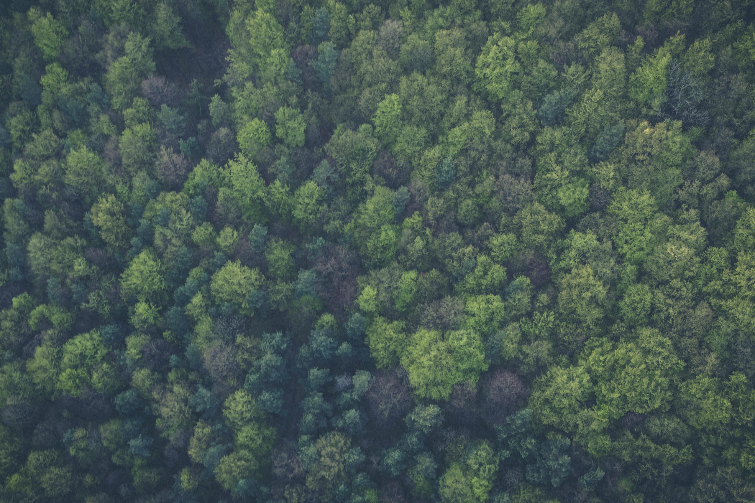
In Stolberg, Germany, a comprehensive project was conducted to detect bark beetle infestations using high-resolution drone imagery and advanced data analytics. The analysis pinpointed tree-level infestations, allowing for precise identification of affected areas. Results were
Customer
Hohnsteiner Forst GbR - Fürstlich Stolbergsche VerwaltungRealisation
February, 2022Project Type
Forest MonitoringLocation
Stolberg am harz, GermanyRoadside forest vitality monitoring
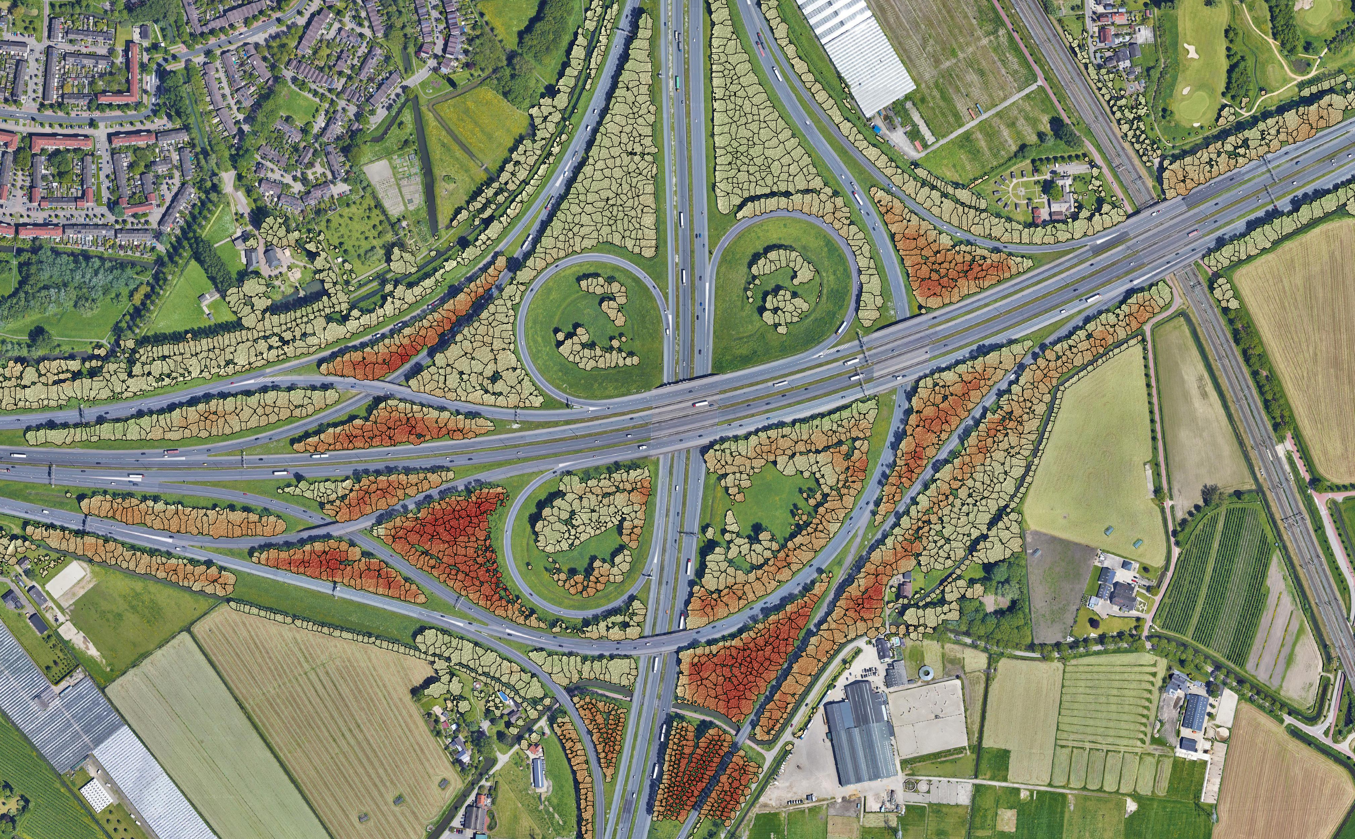
For the Dutch Ministry of Infrastructure, we enhanced our satellite imagery-based Forest Vitality Monitor to evaluate the health of roadside forests across the Netherlands. By integrating historical satellite data, this tool conducts trend analyses that


