From point cloud classification to individual tree analytics, Clear Timber Analytics is a preferred partner for mobile mapping companies worldwide. Our cutting-edge technology transforms raw data into a fully automated digital tree inventory, providing crucial insights for smarter, more sustainable urban planning.
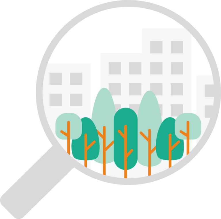
Global Digital Tree Inventories for Precise Planning
Clear Timber Analytics creates a digital twin of each tree in your urban environment, offering municipalities and city planners a comprehensive, up-to-date overview of every tree within their jurisdiction. This digital copy allows for more efficient infrastructure and roadwork planning, as precise tree locations, sizes, and health status can be easily referenced when developing or maintaining urban spaces.
Our automated tree inventory tracks key attributes such as tree height, crown width, and overall health, providing real-time data that enhances urban management decisions. With a clear and accurate overview, cities can better plan for pruning, replacement, or relocation of trees, ensuring that green spaces are well-maintained and that roadworks are carried out with minimal environmental disruption.
Risk assessment
Targeted roadside management based on data
Clear Timber Analytics combines remote sensing technologies, including satellite imagery and mobile mapping data, to provide municipalities with critical insights into urban tree risks. By accurately identifying potential hazards — such as overhanging branches, leaning trees, or storm damage — our technology ensures safer road conditions for commuters and pedestrians. This proactive approach to risk assessment helps urban planners mitigate potential dangers and enhance roadside safety planning.
Intelligence for smarter cities of the future
Empowering Smarter, Sustainable Cities with Data-Driven Insights
Clear Timber Analytics delivers real-time intelligence that supports sustainable urban management. By helping cities better understand their natural assets, we enable greener, healthier urban spaces that foster community well-being.
Our packages
Packages Urban Insights
Entry-Level
Urban Tree Essentials
The foundation of our Urban Insights digital tree inventory solution. This package provides essential data to support basic urban tree management and planning, offering cities a clear and accurate overview of their tree assets.
Part of our Urban Insights digital tree inventory solution, Urban Canopy Pro provides cities with precise tree measurements for advanced urban planning and management. These detailed metrics enable data-driven decisions to optimize urban green spaces, ensuring efficient maintenance and growth monitoring.
Tree detection
Tree height calculation
Tree crown projection area
Detailed tree measurements, including: height, crown diameter
The most advanced package in our Urban Insights digital tree inventory solution. Urban Green Elite leverages multiple data sources, including satellite imagery and mobile mapping data, to provide the most accurate monitoring of individual trees in urban environments. This comprehensive approach enables cities to assess tree vitality, track climate adaptation, and generate precise CO2 capture reports, offering a complete solution for sustainable urban forestry.
Tree detection
Tree height calculation
Tree crown projection area
Detailed tree measurements, including: height, crown diameter, trunk diameter